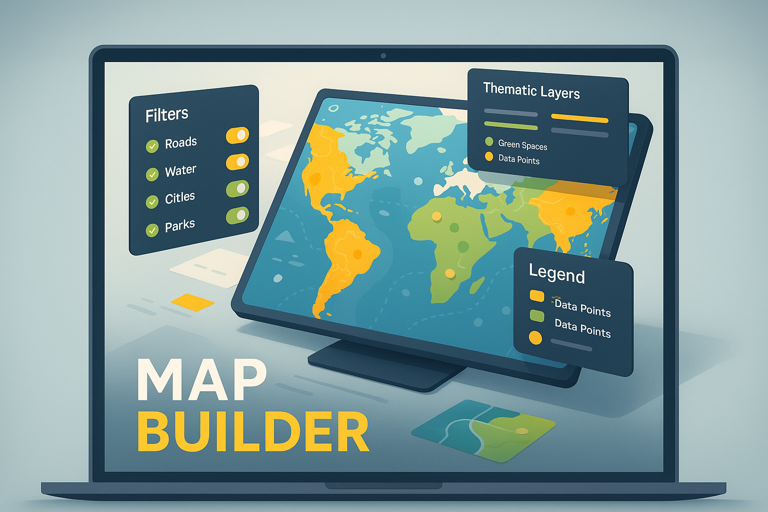
Interactive Map Builder
Easily design and deploy custom, interactive web maps with dynamic data visualization, filtering, and branding.
- Multi-format Data Support: Seamlessly integrate vector and raster data to create rich, layered maps.
- Custom Brand & Style Kits: Apply your organization's brand identity with custom color themes and styling.
- Dynamic Data Filtering: Empower users with interactive filters to explore and analyze data attributes on the fly.
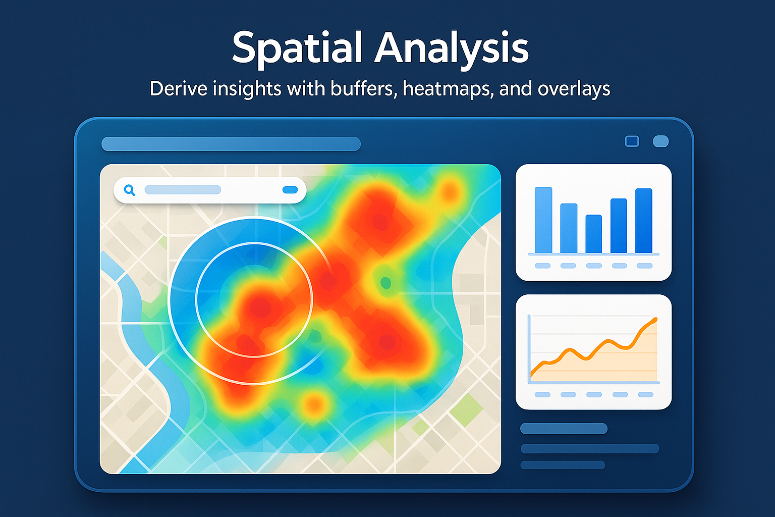
Advanced Spatial Analysis
Execute complex spatial operations, including buffer, overlay, and density analysis, to uncover hidden patterns and relationships in your data.
- Automated Batch Processing: Run complex analyses on large datasets automatically, saving time and resources.
- Customizable Analysis Workflows: Build and save custom analysis pipelines tailored to your specific research or operational needs.
- Versatile Data Outputs: Export results in standard GIS formats like GeoJSON and Shapefile for compatibility with other systems.
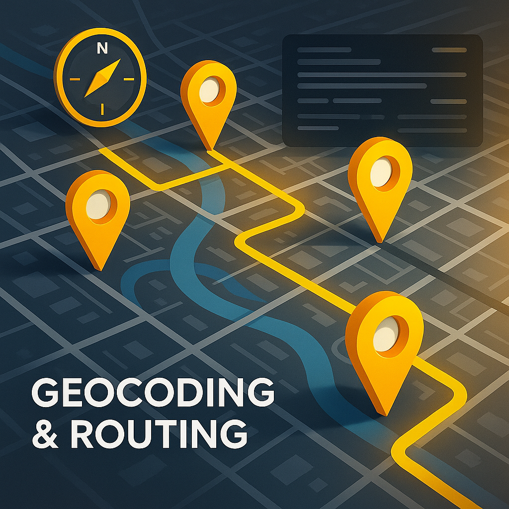
Geocoding & Route Optimization
Convert addresses to precise geographic coordinates and generate optimized routes for efficient fleet management and logistics.
- Automated Address Data Cleansing: Ensure your location data is accurate and standardized for reliable geocoding.
- Multi-Stop Route Optimization: Automatically calculate the most efficient sequence of stops to minimize travel time and costs.
- Real-time ETA & Live Tracking: Provide accurate estimated times of arrival and monitor fleet location in real time.
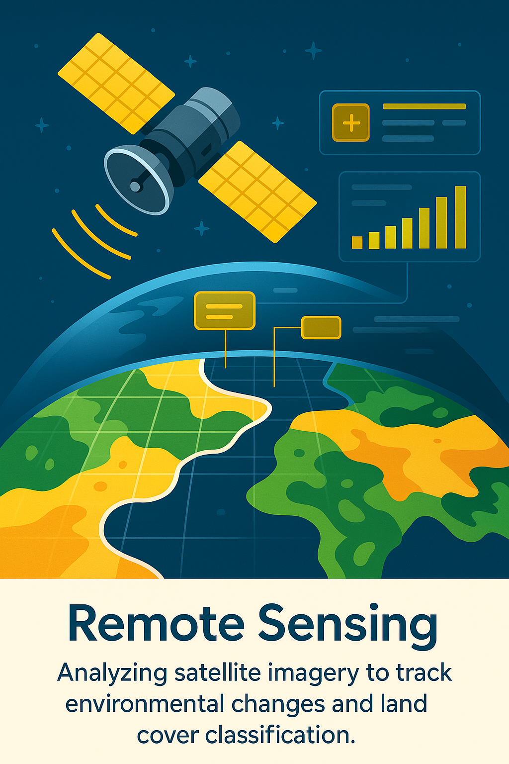
Remote Sensing & Satellite Imagery
Leverage satellite imagery and advanced analytics for land cover classification, change detection, environmental monitoring, and more.
- Advanced Multi-spectral Analysis: Analyze data from different spectral bands to identify specific features like vegetation health or water bodies.
- Temporal Change Detection Reports: Automatically compare historical imagery to detect and report on land-use changes over time.
- Custom Machine Learning Models: Train and deploy custom classification models tailored to your specific region and data types.
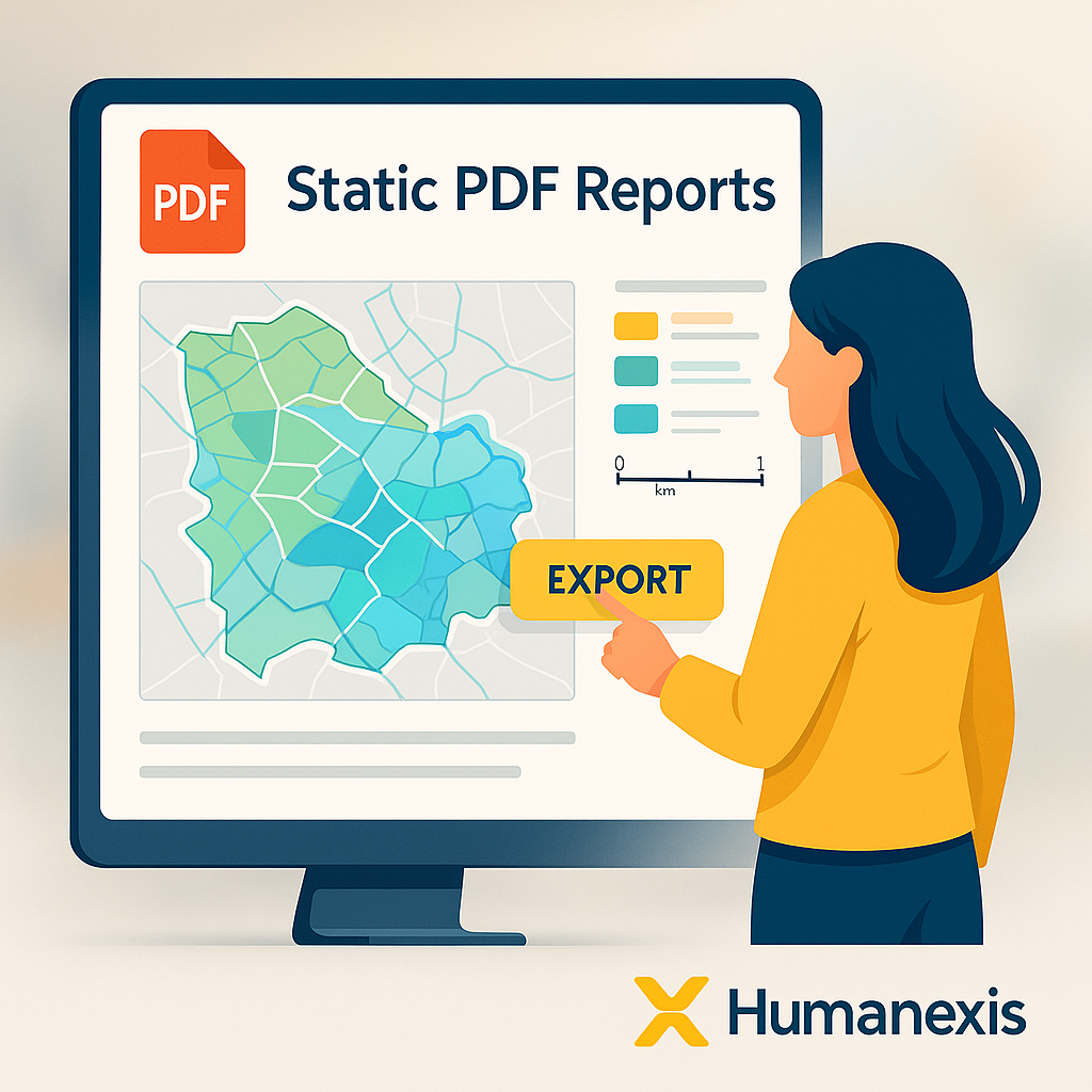
Automated Map Reporting
Generate professional, print-ready PDF map reports with dynamic legends, scale bars, and custom templates for seamless distribution.
- Dynamic Template Engine: Create and reuse custom templates to maintain brand consistency across all reports.
- High-Resolution Export: Generate vector-based PDFs for clear, crisp, and scalable print quality.
- Automatic Pagination: Effortlessly produce multi-page reports and map books with automated pagination and indexing.