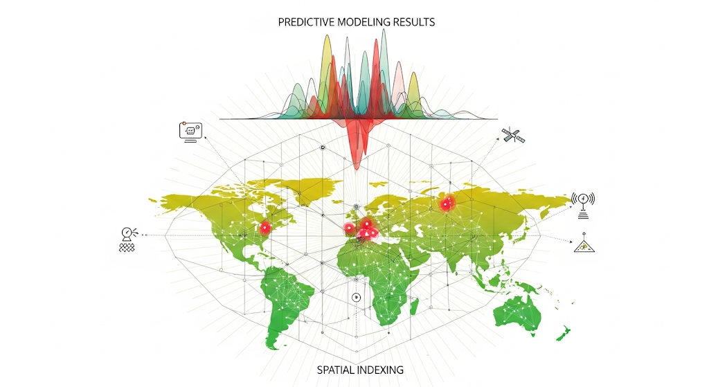
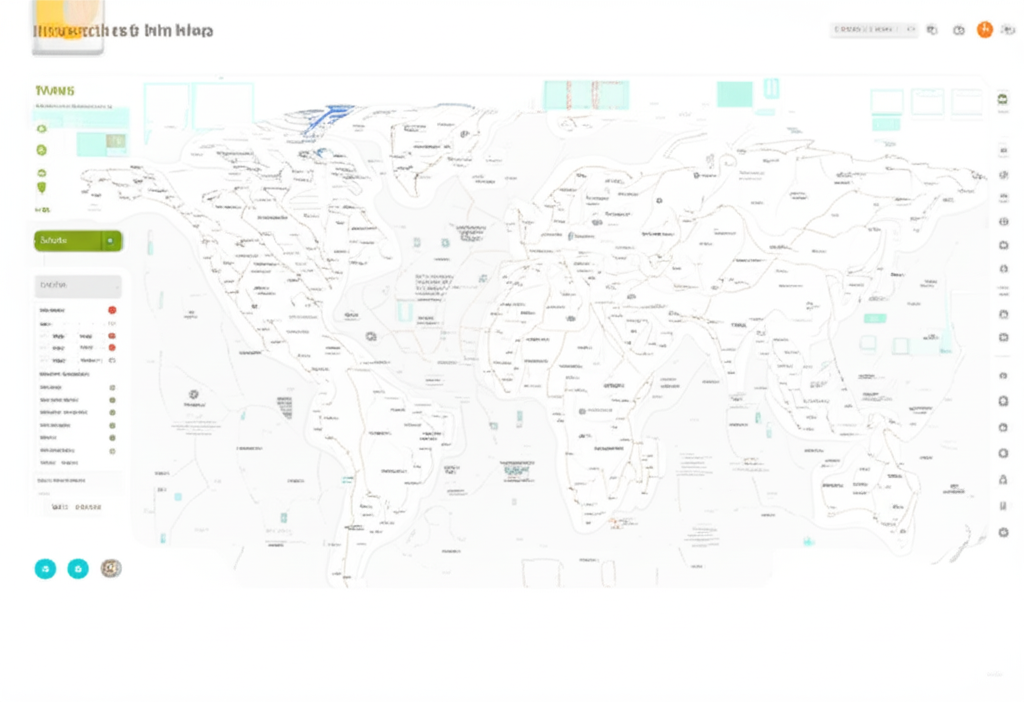
Harness the power of location data to transform operations, enhance decision-making, and visualize your impact.
Request a ConsultationDeploy responsive, high-performance web maps that give stakeholders instant access to critical location data. We build custom, interactive viewers with tailored data layers and branding, empowering real-time data exploration and decision-making.
Go beyond visualization with powerful analytical tools. Our experts engineer custom geoprocessing workflows to reveal hidden patterns and relationships in your data, enabling optimized resource allocation, risk modeling, and strategic planning.
Equip your field teams with intuitive, offline-ready mobile applications. Our custom solutions allow for seamless capture of geo-tagged data, photos, and surveys, with automatic synchronization to the central database.
Our team brings deep expertise in GIS, software development, and UX design to every project.
Our solutions are built with security first, adhering to industry standards like GDPR and ISO to protect your sensitive data.
Our modular frameworks are designed to grow with your organization, allowing for seamless integration of new features.
Tell us about your project, your goals, and letโs get started.
We build mission-critical digital tools for NGOs, government & private sectors. Turning data into action, with clarity & control.
Flexible, impact-driven feature bundlesโno surprise fees.