
GIS & mapping · Juba, South Sudan
Use location data to understand where things are happening.
HumanoSys provides GIS and mapping services in South Sudan across web maps, spatial analysis, remote sensing, geospatial integration and field data collection for organizations that need to understand coverage, proximity, movement, need or risk by location.

GIS workflowMap · analyse · collect · connect
01 GIS services
A map is useful when it helps answer an operational question.
We combine GIS, software development and field collection so location data can be used in planning, monitoring and day-to-day operations.
Web mapping
Build responsive map interfaces with the right data layers, styling and access controls for the intended users.
Spatial analysis
Use proximity, network, hotspot, segmentation and other geoprocessing methods to answer location-based questions.
Field data collection
Capture coordinates, forms, photos and observations offline, then synchronize them into central systems.
Remote sensing
Use satellite and other imagery sources for monitoring, change analysis and geographic context where they fit the operational question.
GIS architecture
Connect mapping components to operational platforms and plan for growing datasets, users and use cases.
Geospatial integration
Connect spatial databases, map services and location data to enterprise systems, analytics and reporting workflows.
02 Applied GIS
Move location data from field collection into maps and analysis without rebuilding it at each step.
A well-designed workflow can carry the same geographic data from collection through validation, mapping and reporting.
01
Interactive maps
Build web maps with layers and controls suited to the job users need to do.
02
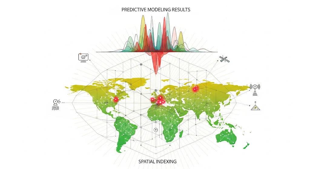
Spatial analysis
Measure patterns, proximity and geographic concentration using methods appropriate to the question.
03
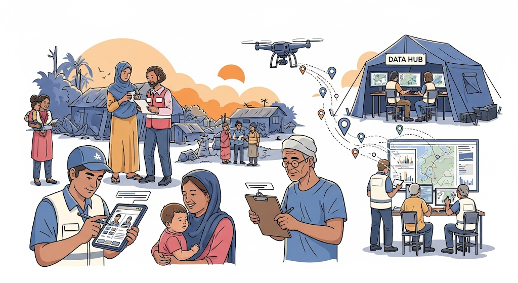
Field capture
Collect geographic evidence on mobile devices and synchronize it back to the systems that need it.
Looking for GIS, mapping or geospatial services in South Sudan?
Talk to us about web mapping, spatial analysis, remote sensing, field capture or GIS integration.
Start a conversation ↗